What’s the point of having data split over different colours/coasts? Rather had more info on the circles’ sizes, but ok
Edit: should have added a thank you note for op, because sounds like I critize them but I’m not
Yeah that was really strange to me as well. Good way to learn compass directions? 😸
Never Eat Salty Wheat
In German it’s: Nie ohne Seife waschen (Never Wash without soap)
Isn’t the size guide there? 1.5 to 3 mm rise per year is defined, so you can extrapolate the rest, roughly
Yes roughly, but especially where there is an overlap you can’t really anymore. On the interactive version it is answered precisely, but I don’t see the point of graphing on which coast it is; I can already see that on the map. It would make sense if it were a table for example.
Well, it is pretty to look at. Wonder if the diagram is confusing or if I’m just dumb, because it took me a bit to figure out that circle size corresponded with millimeters. That’s the struggle of knowing 1) you’re not an omniscient genius but also 2) data can be presented in a way that’s confusing to most people, but not being a design expert so you don’t know if you’re just dumb or if it’s a design flaw. And you don’t want to start criticizing stuff when you are not an expert and saying something blatantly wrong, so you just wonder and maybe type out this paragraph online.
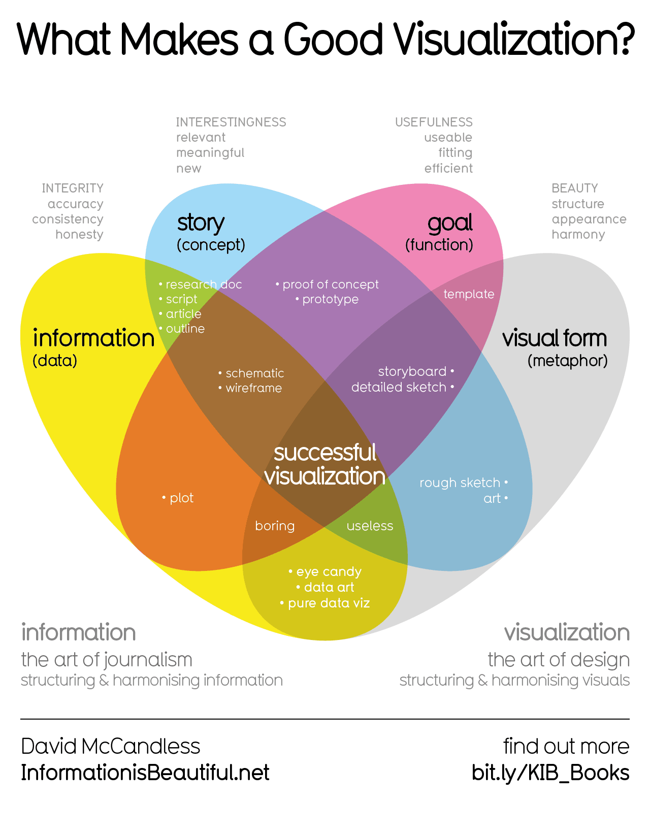
Following this community really confirms my believe that data visualization is a trade that’s not easily mastered. Making it easy to read but not pretty is almost as easy as making it pretty but not very insightful. Making it easy to understand, meaningful and also pretty to look at is incredibly difficult.
Just reducing the coast line seems more informative…

Is the reason for the East/West coast disparity the tectonic plates? I imagine (at least along the Juan de Fuca subduction zone) that the interaction makes the terrain more rugged compared to the geologically more stable Atlantic coast.
There isn’t as much rise on the west coast because they are sitting on a huge subduction zone that’s propping them up. When it goes it’s going to be nuts. cascadia subduction zone
Unfortunate that the low-lying areas (the Gulf and Eastern Seaboard) that would be most affected are the ones that have the biggest change.


